
I’ve not long finished putting a road through planning and I was asked what and how it all comes about. How you justify it, and what is entailed in actually deciding the route and designing it…
When you identify a route to be improved it normally comes about because there are problems with the existing stretch of road. This may be linked to congestion relief, unreliable journey times, a poor safety record or the need for useful access improvements.
The need for improvement will be justified through economic analysis. These economics will normally be analysed by looking at local factors such as the traffic figures. Interrogation of these figures will give traffic predictions and allow models to be produced based on observed numbers (traffic counts, mobile data ect…) by the traffic engineers. The traffic models generated through bespoke software predict various scenarios when looking at suggested improvement schemes. Once the need and the appropriate traffic models have been finalised work can then start on the proposed route.
Proposing a route is carried out by studying the terrain through which the road is to pass and identifying constraints on any route selected. There will be things like buildings, road crossings, rivers, canals, railways, airfields, areas of special landscape or environmental interest, archaeology, strategic utility infrastructure, type of soils or underlying geology etc., all of which will impact in some way on the proposed route under review.
A factor when making any selection of a route will be to recognise the type of road that will be required. For instance will it be single carriageway, dual carriageway, motorway standard. Will it need to change in character along the route? All these decisions are determined by the traffic demands and traffic models. It is logical that a road carrying more traffic will require more lanes and a greater capacity to enable it to flow freely. These matters are all covered by standards.
It then is a matter of making an assessment of the most appropriate routes through/over/under/around the constraints, or, if possible, incorporating some measure to accommodate the constraint within the design by some special feature, i.e. tunnel, bridge, culvert, creation of alternative habitat, etc.
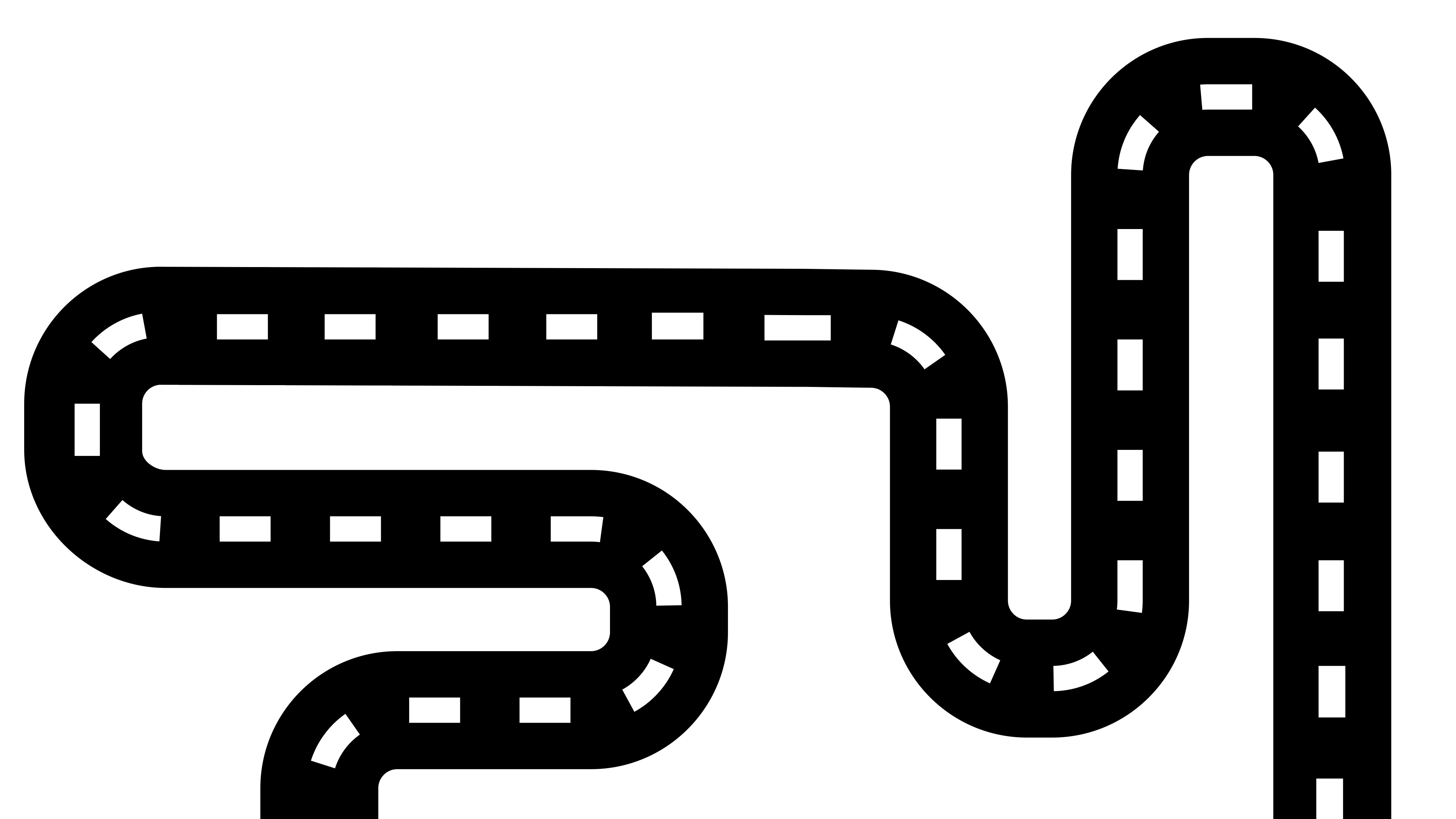
The route selected will have to comply with the standards for minimum curvature required for the type of road required. These are all pre-determined in standards and recognise the type of road and the anticipated speed. This is required for both the horizontal and vertical alignment of the road.
Where there is a need to link back into existing highway networks, junctions will be required. Again, the type of junction will be driven by the traffic demands. There are standards that apply to the type of junction appropriate for the traffic flow and the resulting geometry standards associated with the junction choice. There will be the need to look at the roads crossing the route and decisions made to assess whether to link the road with a junction, take it across the road, but not directly connected, or stop it up altogether.
An important factor in highway construction is the amount and position of where “muck” has to be excavated and transported. This is determined by designing the road’s vertical alignment. It is desirable to obtain a “earthworks balance” for the highway. That is to say, all the material excavated in cutting will have somewhere for it to be placed on a part of the highway on embankment so that no material will need to be imported or taken off site. This assists in the economics of a scheme as “muck shift” is a large portion of the overall cost.
If a number of options for a route are found from the above exercise, these can be tested and compared.
The assessment of alternative routes will be made by comparing each option in turn against a number of factors. These will include things like;
- Resulting geometrical layout
- Overall affect on traffic in the long term
- Economics and benefits
- Affect on drivers and whether the layout is complicated
- Affect on Non-Motorised Users – footpaths, bridleways, cycle paths
- Affect on the local traffic whilst being constructed
- Complexity of the construction activities and the impact on the surrounding people
- Amount of land required
- Affect on property – any buildings require demolition?
- Environmental impact and affect on important ecological areas
- Affect on Statutory undertakers and possible impacts of diversions
- Type and suitability of the terrain – geotechnical considerations
Having made a preferred selection using the process above, the option can then be designed in sufficient detail so that the land required to construct the scheme can be identified.
It is at this point that, subject to on-going public consultation, the scheme could be taken through the planning process. The resulting acceptance (or otherwise) of this process, the scheme would be taken forward to detailed design and construction. At this point the scheme will only be changed in matters of detail brought about by detailed design. The overall layout and scope of the scheme would be unchanged.
- makes roads safe and useful
- makes roads understandable
- fits in context and is restrained
- is environmentally sustainable
- is long-lasting
